Above-Average Hurricane Season Will Offer Little Relief From Brutal Texas Drought, State Climatologist Says
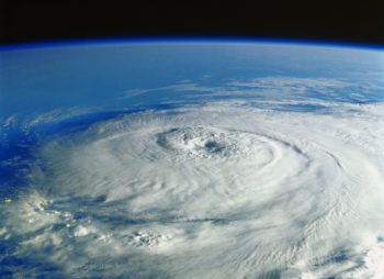
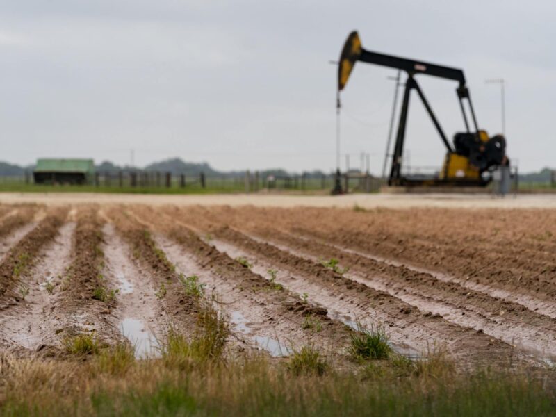
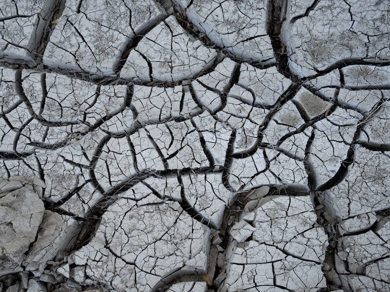
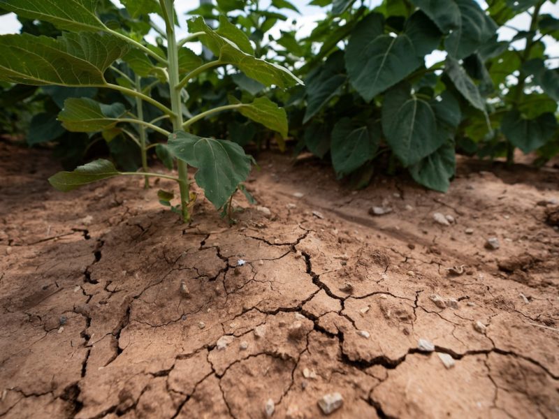
As record-breaking heat and drought conditions continue to cover much of the state, Texas A&M University professor and state climatologist John Nielsen-Gammon says Texans will soon be facing the additional threat of an especially intense Atlantic hurricane season.
While the promise of heavy rains in the near future might seem like the answer to the state’s drought problems, Nielsen-Gammon said rains from a hurricane wouldn’t be widespread enough to bring relief to most of the state. So while some Texans will face a devastating overabundance of rainfall, most will continue to receive dangerously little.
As Nielsen-Gammon notes, things have been relatively quiet since hurricane season first began back in June. But ultimately that’s not uncommon, he says, as hurricane activity generally doesn’t hit its peak until much later. Earlier this month, the National Oceanic and Atmospheric Administration reiterated its prediction of an above-average season and stressed the need for caution in the months ahead.
“The thing is, it’s almost always quiet through early August,” said Nielsen-Gammon, who serves as a regents professor in the Department of Atmospheric Sciences at the Texas A&M College of Arts and Sciences. “Hurricane activity doesn’t ramp up until mid-August and doesn’t peak on average until early September. So most of the hurricane season, and almost certainly most of the hurricane activity, is still ahead of us.”
This additional bout of extreme weather is arriving in the midst of one of the toughest Texas summers in history. The state just experienced its hottest July on record, Nielsen-Gammon said, and so far, August has been even warmer.
“We’re on track for the second hottest summer,” Nielsen-Gammon said, second only to the conditions recorded in the summer of 2011.
In large part, the looming hurricane activity and exceptional heat and drought share a common culprit: ongoing La Niña conditions in the Pacific Ocean. As Nielsen-Gammon explains, La Niña occurs when central and eastern areas of the tropical Pacific experience abnormally cool ocean temperatures, diminishing the formation of thunderstorms in these areas and ultimately shifting storm activity westward, toward Asia and Australia.
“This massive shift of thunderstorms and trade winds has global weather implications,” Nielsen-Gammon said. “For Texas, it means that the wintertime jet stream is weaker and farther north, giving us milder weather with less rain. So, from about November through March, drought is more likely to develop or intensify.”
This year, those conditions helped kick off an exceptional period of drought that has continued to plague the state well into the summer months. As Nielsen-Gammon notes, summertime statewide drought conditions are currently the fourth worst on record for Texas, behind the summers of 1918, 1956 and 2011.
La Niña is expected to intensify over the next couple of months, Nielsen-Gammon said. And while that won’t mean much for day-to-day weather patterns in Texas, the impact out in the Atlantic will be substantial.
“With thunderstorms pushed away from the eastern Pacific Ocean comes less wind shear over the tropical Atlantic,” he said. “This allows hurricanes to develop and intensify without being ripped apart by different winds at different altitudes. This is one of the key factors leading to the expectation of an active Atlantic hurricane season developing sooner or later.”
Does this mean the same La Niña conditions that helped cause Texas’ drought could also be the key to ending it? No such luck, says Nielsen-Gammon. While hurricanes do bring plenty of rain, it’s mostly rain that would have fallen anyway, he said. And instead of being distributed across the dry expanse of the state, it remains heavily concentrated in select areas, where it does much more harm than good.
“Sure, some place might be lucky, or more accurately, unlucky enough to experience a hurricane, but a couple hundred miles away it might not rain at all,” Nielsen-Gammon said. “Sometimes the weather outside the reach of a hurricane is clear and dry, as air pumped upward within the eyewall spreads out and slowly sinks back down.”
Nielsen-Gammon is looking for help from another source: weak cold fronts.
“We’re starting to see fronts make it farther south into Texas this month,” he said. “Weak and slow-moving fronts help trigger thunderstorms that could provide widespread drought relief, or at least stop the drought from getting worse.
“But La Niña seems ready to last through the rest of the year, meaning that the weather is likely to turn dry again before very long.”
Media contact: John Nielsen-Gammon, n-g@tamu.edu