Texas Just Experienced Its Warmest September Ever
New figures from the Office of the Texas State Climatologist at Texas A&M University show that the Lone Star State just concluded its warmest end-of-summer on record.
According to data from the National Centers for Environmental Information, September was the warmest ever on record, based on 125 years of data. The average temperature in Texas was 81.5 degrees, 0.8 degrees warmer than the previous record set in 1911.
John Nielsen-Gammon, Regents Professor, Texas State Climatologist and director of the Texas Center for Climate Studies, said of the 254 Texas counties, 102 had their warmest September on record. Three counties in the Panhandle (Hemphill, Lipscomb, and Moore) exceeded the 20th-century average September temperature by 7.6 degrees.
“This comes on the heels of the second-warmest August on record, surpassed only by August 2011. In fact, September was warmer than more than one-third of all prior Augusts,” Nielsen-Gammon said.
Not surprisingly, he added, August-September combined was the warmest on record and July-September was second warmest.
“The first decent cold front of the season was also late in arriving,” he said. “If we call the first day of fall weather the first day after Aug. 1 in which the minimum temperature is at least as cool as an average September day, most of the state had its first fall day later than in any previous year of record-keeping.”
Nielsen-Gammon added that in Lubbock, San Antonio, Dallas, College Station, Houston, Brownsville, and McAllen, fall arrived more than a week later than in any previously recorded year. In these locations and many others, the first fall day wasn’t until the second week of October.
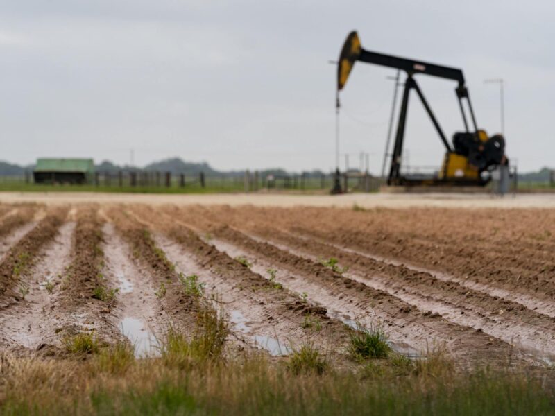
While temperatures were high everywhere, rainfall was unusually erratic, even for Texas, Nielsen-Gammon said.
For example, in the Fort Worth area, four counties (Tarrant, Hood, Parker, and Johnson) received an average of less than one-tenth of rain in September, making it their driest September on record. Meanwhile, Tropical Storm Imelda helped Jefferson, Liberty, Chambers, and Hardin counties in southeast Texas to their wettest September on record, each averaging more than 11 inches for the month.
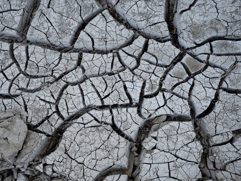
“The combination of hot weather everywhere and dry weather in much of the state led to a substantial worsening of short-term drought conditions,” he said. “At the end of July, only about 4 percent of the state was in moderate drought conditions. Now, almost half of the state is experiencing at least moderate drought and for almost 9 percent of the state the drought is extreme.”
Now that cold fronts have started arriving, evaporative losses will decrease and there will be more opportunities for widespread rainfall, he said.
With little sign of El Niño developing in the tropical Pacific Ocean, there’s not much reason to expect unusual rainfall patterns this winter, so drought conditions should improve in most areas, Nielsen-Gammon added.
“At this point, Texas temperatures have been running about 1.5 degrees to 2 degrees warmer than their 20th-century average,” he noted. “While this doesn’t account for most of the unusual heat this past September, it was enough to help it break the record.”
Media contacts:
- John Nielsen-Gammon, 979 862-2268, n-g@tamu.edu
- Keith Randall, 979-845-4644, keith-randall@tamu.edu