Texas A&M Oceanographer Contributes To Groundbreaking Ocean Dynamics Research
Scientists are developing a clearer picture of ocean dynamics, thanks to an innovative method for translating satellite data on sea surface heights that is providing valuable insights on currents, heat distribution and, notably, climate change implications.
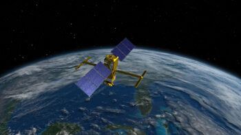
Dr. Spencer Jones, an assistant professor in the Department of Oceanography at Texas A&M University, is part of a research team that is using machine learning to predict vertical motion based on data collected by the Surface Water and Ocean Topography (SWOT) satellite. The research was made possible through the support of the National Aeronautics and Space Administration (NASA), which provided funding for Jones’ project and created the satellite in collaboration with the French space agency, Centre National d’Études.
Launched for the first time in December 2022, the SWOT satellite captures sea surface heights with unprecedented precision. Working in collaboration with Dr. K. Shafer Smith and graduate student Qiyu Xiao from the Courant Institute of Mathematical Sciences at New York University and Dr. Dhruv Balwada from the Lamont-Doherty Earth Observatory at Columbia University, Jones trained the machine learning model to discern vertical motions near the ocean surface using images of sea surface height.
The model’s success stems from its ability to overlook the waves on the sea surface — a factor that Jones says typically poses challenges when studying changes in sea-surface heights.
“Water moving up and down, known as vertical transport, typically occurs at fronts,” Jones said. “Fronts are places where there is a sharp change in temperature or salinity. Internal waves passing through the sea surface make it challenging to identify changes in height caused by fronts or swirling masses of water called eddies. Machine learning is needed to pinpoint the areas where vertical transport occurs.”
The SWOT Science Team is currently validating recent satellite measurements, which they plan to make available to the public in the coming months. Their research aims to understand the movement of water from the surface to approximately 150 meters deep, or roughly half the height of the Empire State Building. Jones believes that gaining insights into this process will significantly contribute to a broader understanding of Earth’s climate.
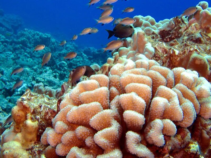
“Ocean surface water interacts with the air, absorbing oxygen, carbon dioxide and nutrients from sources like dust,” Jones explained. “The up-and-down movement of water from the surface to deeper layers influences the amount of oxygen dissolved in the ocean, which affects marine life. Fish prefer areas with sufficient oxygen, and our research is the first step in figuring out how these substances move from the surface into the ocean.”
The team is hopeful its research will help future scientists estimate the extent to which the ocean can absorb carbon dioxide and whether or not the dissolved carbon dioxide will remain in the ocean. Jones notes this is crucial because some proposed strategies for mitigating global warming involve dissolving carbon dioxide in the ocean to remove it from the atmosphere. A significant concern with this approach is the possible release of dissolved carbon dioxide back into the atmosphere in the future.
“We are enthusiastic about this innovative model and intend to continue developing new machine learning algorithms,” Jones said. “Our goal is to apply these algorithms to actual satellite data, enhancing our ability to estimate ocean surface movement.”
Media contact: Grant Hawkins, ghawkins@tamu.edu