Navigation Tools Could Be Pointing Drivers To The Shortest Route — But Not The Safest
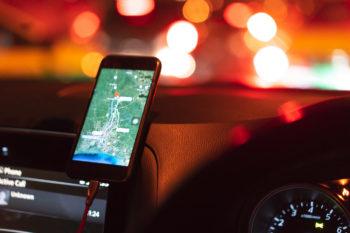
Time for a road trip. You punch the destination into your GPS and choose the suggested route. But is this shortest route the safest? Not necessarily, according to new findings from Texas A&M University researchers.
Dominique Lord and Soheil Sohrabi, with funding from the A.P. and Florence Wiley Faculty Fellow at Texas A&M, designed a study to examine the safety of navigational tools. Comparing the safest and shortest routes between five metropolitan areas in Texas — Dallas-Fort Worth, Waco, Austin, Houston and Bryan-College Station — including more than 29,000 road segments, they found that taking a route with an 8% reduction in travel time could increase the risk of being in a crash by 23%.
“As route guidance systems aim to find the shortest path between a beginning and ending point, they can misguide drivers to take routes that may minimize travel time, but concurrently, carry a greater risk of crashes,” said Lord, professor in the Zachry Department of Civil and Environmental Engineering.
The researchers collected and combined road and traffic characteristics, including geometry design, number of lanes, lane width, lighting and average daily traffic, weather conditions and historical crash data to analyze and develop statistical models for predicting the risk of being involved in crashes.
The study revealed inconsistencies in the shortest and safest routes. In clear weather conditions, taking the shortest route instead of the safest between Dallas-Fort Worth and Bryan-College Station will reduce the travel time by 8%. Still, the probability of a crash increases to 20%. The analysis suggests that taking the longest route between Austin and Houston with an 11% increase in travel time results in a 1% decrease in the daily probability of crashes.
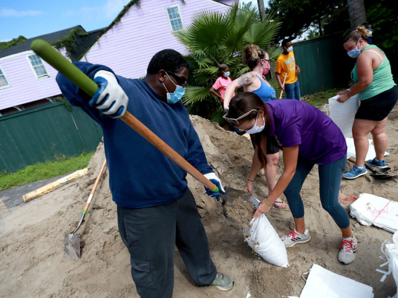
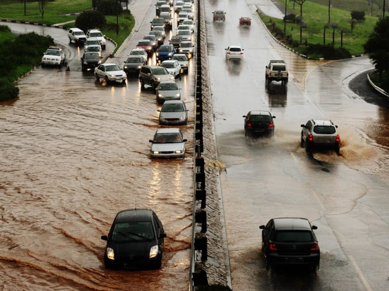
Overall, local roads with a higher risk of crashes include poor geometric designs, drainage problems, lack of lighting and a higher risk of wildlife-vehicle collisions.
Lord and Sohrabi, who is a recent civil engineering doctoral graduate and postdoctoral research associate in roadway safety at the Texas A&M Transportation Institute, published their findings in the transportation journal Transportation Research Part C.
They also propose a new system architecture to find the safest route using navigation systems.
“Our study revealed the potential of commonly used road navigation apps to misguide users toward using a road that carries a higher risk of crashes, which implies the need for considering safety in route-finding,” Sohrabi said. “Developing such a system is, however, challenging. We proposed a system architecture for safe route-finding and highlighted the requirements for and barriers in incorporating safety in navigation apps.”
In the new system architecture for finding the safest route, researchers said that after receiving the trip destination and time of day, the algorithm would identify routes by using the road network data and possible incidents, including road or lane closures due to flooding or crashes. The system would also factor in road characteristics, historical crash data, traffic information and current weather conditions. The route with the lowest accumulated risk would then be suggested as the safest route.
“Navigation based on safety, rather than travel time, can result in preventing crashes and promoting overall safety on the road network and eventually save lives,” Lord said.
While this proposed system is promising, it is heavily dependent on the availability of data by local and federal government agencies responsible for road transportation. The requirements for deploying safety in route-finding systems also include the availability of real-time traffic flow and incident reports and more accurate crash prediction models.
Additionally, including a safety consideration in navigation apps would introduce the issue of a trade-off between travel time and safety. Researchers said drivers who aren’t concerned with safety might take a route with a higher risk of crashes to reduce travel time, but all road users are affected if a collision occurs.
“Given the fact that crashes can affect not only those involved but also other road users, leaving the choice between safety and time to the users may result in unethical decisions and unfair consequences,” Sohrabi said.
Additional work is needed to address some of the limitations in the study, such as distinguishing directional crash risk, intersection crash risks and the severity of crashes along these routes.
This article by Alyson Chapman originally appeared on the College of Engineering website.