Construction Science Professor Develops Unique App To Gauge Flood Levels
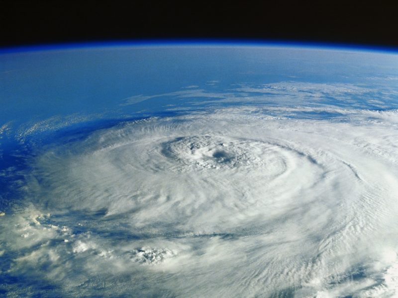
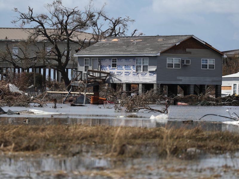
As Hurricane Laura’s menacing march to the Texas and Louisiana coasts continues, a new app developed by Amir Behzadan, Texas A&M University associate professor of construction science, and collaborators will help provide precise, timely information about flood levels to first responders and Gulf Coast residents.
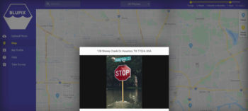
The concept of the app, BluPix, is simple: anyone can use the free app to upload a photo of floodwaters that includes a stop sign and pole. The uploaded image and a photo of the same location taken before the flood are then pinned to the app’s built-in map using the photos’ metadata.
Because stop signs in the U.S. are all the same height and width, a computer algorithm can “turn them into low-tech flood sensors,” Behzadan told KHOU-TV. First responders and citizens can use the app to quickly determine the height of flood waters and use its built-in map to determine flood risk in their area. The app processes the crowdsourced photos with an artificial intelligence algorithm to calculate floodwater depth.
Matthew Marchetti, co-founder of Crowd Source Rescue, one of the nonprofit organizations collaborating with the Texas A&M app development team, said his group will be able to use the app’s pictures in real time to dispatch volunteers the next time flooding hits Houston.
“At the end of the day it helps save more lives, if we can get first responders better and faster information,” Marchetti said.
Precise information about flooding can be hard to come by, he said.
“You ask five different people in the same apartment complex, how high did it flood? You will get five different answers,” Marchetti said. “Is the floodwater two feet, is it six feet? There’s a big difference between those two numbers, because it’s the difference between a truck and a boat.”
The crowdsourced photos could also help reduce the time it takes to update floodplain maps, said Behzadan, who is developing the app through a funded research project with Texas A&M faculty colleagues.
“FEMA flood maps are widely used to determine flood risk, vulnerability, and insurance cost, but the process of creating and updating these maps is very complex,” Behzadan said. “Seventy-five percent of these maps are older than five years, leaving many U.S. communities with no or outdated flood maps.”
Although the app is new, it already has photos of flood waters and stop signs from many parts of the country, and even a few locations in Canada, demonstrating the power of crowdsourcing.
Behzadan’s collaborators include Michelle Meyer, director of the Hazard Reduction and Recovery Center, and Courtney Thompson and Zhe Zhang, Texas A&M assistant professors of geography.
The project is funded by the Texas Sea Grant Program under an award from the U.S. Department of Commerce’s National Oceanic and Atmospheric Administration.
This article by Richard Nira originally appeared on the College of Architecture website.