Texas A&M Maritime Academy Deploys Buoys For Weather Predictions, Research
The Texas A&M Maritime Academy has partnered with the National Oceanic & Atmospheric Administration (NOAA) to deploy eight drifting buoys as part of the organization’s Global Drifter Program (GDP) that collects critical weather data for a number of applications, including weather forecasting and prediction, search and rescue planning and satellite calibration.
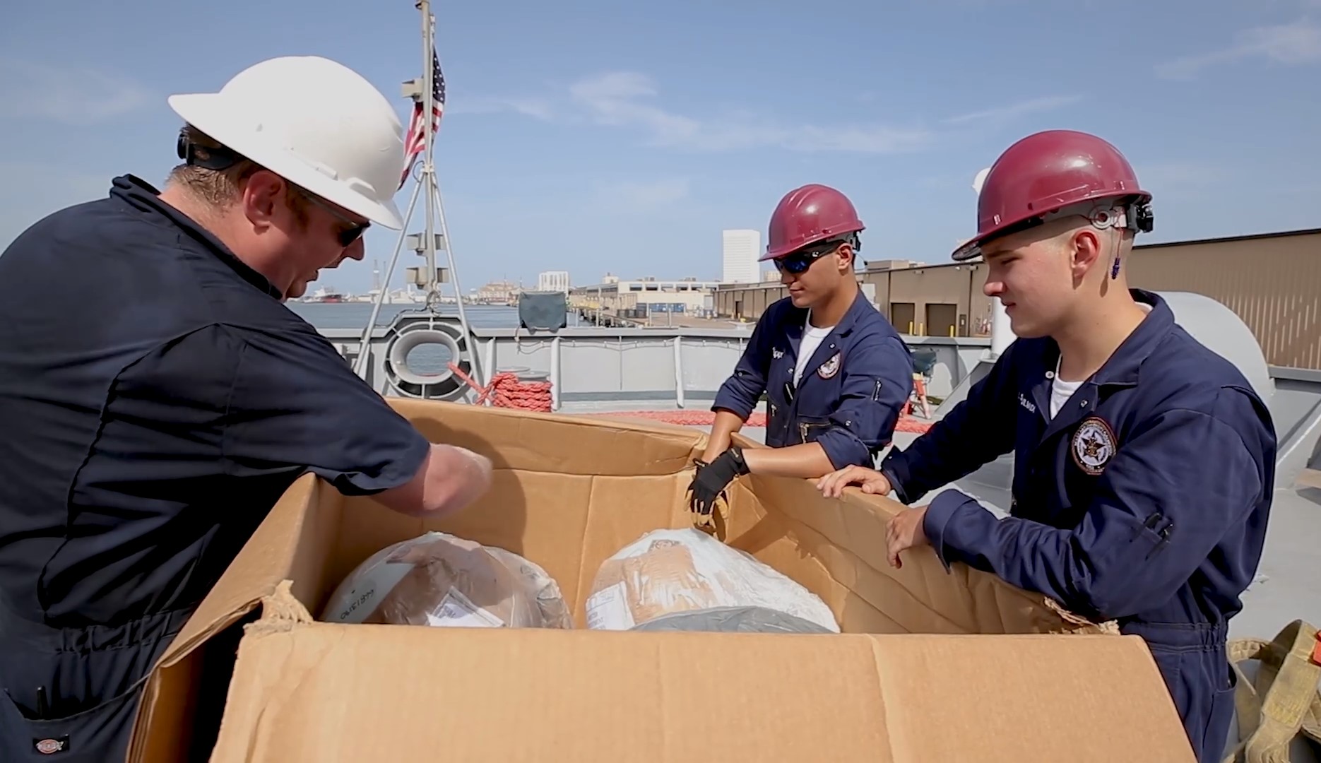
The buoys will be strategically dispersed between the Hawaii and Seattle leg of the academy’s seven-week international summer training cruise. The experience complements the hands-on training cadets receive aboard the ship.
“The information collected by the drifters is the same data that creates the maps and charts our cadets are using for daily maritime operations,” said Captain Augusta Roth, department head for Texas A&M at Galveston’s Maritime Transportation Department. “The opportunity for them to contribute from the beginning in this process adds value and worth to their training, education and responsibilities once they become licensed merchant marine officers in the maritime field.”
The buoys’ primary function is to measure sea surface temperatures and ocean current velocities that are used to develop weather forecast models, calibrate satellites, inform search and rescue planning and map particle dispersions such as marine debris and oil spills. The data collected through the GDP feeds into NOAA’s Voluntary Observing Ship (VOS) program, which is comprised of a global network of maritime partners who facilitate the collection of real-time weather condition data.
The information collected supports national and international maritime commerce agreements, weather forecast and warning programs, and provides key markers to aid in defining the global climate.
“The oceans cover about two-thirds of the surface of the earth and for decades, ships were the sole source for obtaining meteorological data,” said Rob Niemeyer, NOAA Port Meteorological Officer.
“Although there are now several other means satellites, drifting buoys, floats and radar -– ships continue to play a very important role in world wide meteorological data collection. Mariners provide the most accurate description of the actual meteorological conditions from their unique position and are a key component of a good forecast or warning.”
The data also provides key markers to aid in defining the health of the global climate, identifying climate variables and measuring long-term climate changes.
“Both the maritime field and the nation are vested in global climate trends,” Roth said. “The information collected by NOAA provides significant climate knowledge that impacts us all. Our partnership with NOAA aids our students in establishing awareness not only of weather safety as they embark on maritime careers, but also on the impact of climate variables within our industry.”
Media contact: Rebecca Watts, 409-740-4840, rwatts@tamug.edu